California City, CA · Mojave Desert · Kern County
Planned for 400,000. Kept by the desert.
A desert town of about 13,100 people, 110 miles by road from downtown Los Angeles, spread across 203.7 square miles of the western Mojave. Canyons, open riding, dark skies, and a street grid laid out for four hundred thousand.
Today in the desert
NWSLoading the forecast
- Wind
- Riding
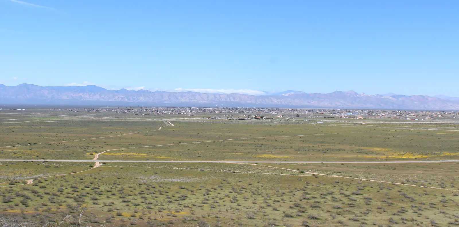
California City from the Twin Buttes, looking west to the Sierra Nevada, March 2019. “Cal City Looking West” by Smm413, via Wikimedia Commons, CC BY-SA 4.0; resized and converted to WebP.

- Population
- 13,141
- City limits
- 203.7 sq mi
- Elevation
- 2,405 ft
- To downtown LA
- 2 h 11 min
- ZIP code
- 93505
- Founded
- 1958
Checked . Every figure’s source is on California City at a glance.
What brings you out here?
Five reasons people look up California City, and where each one leads.
 Start here
Visiting or riding
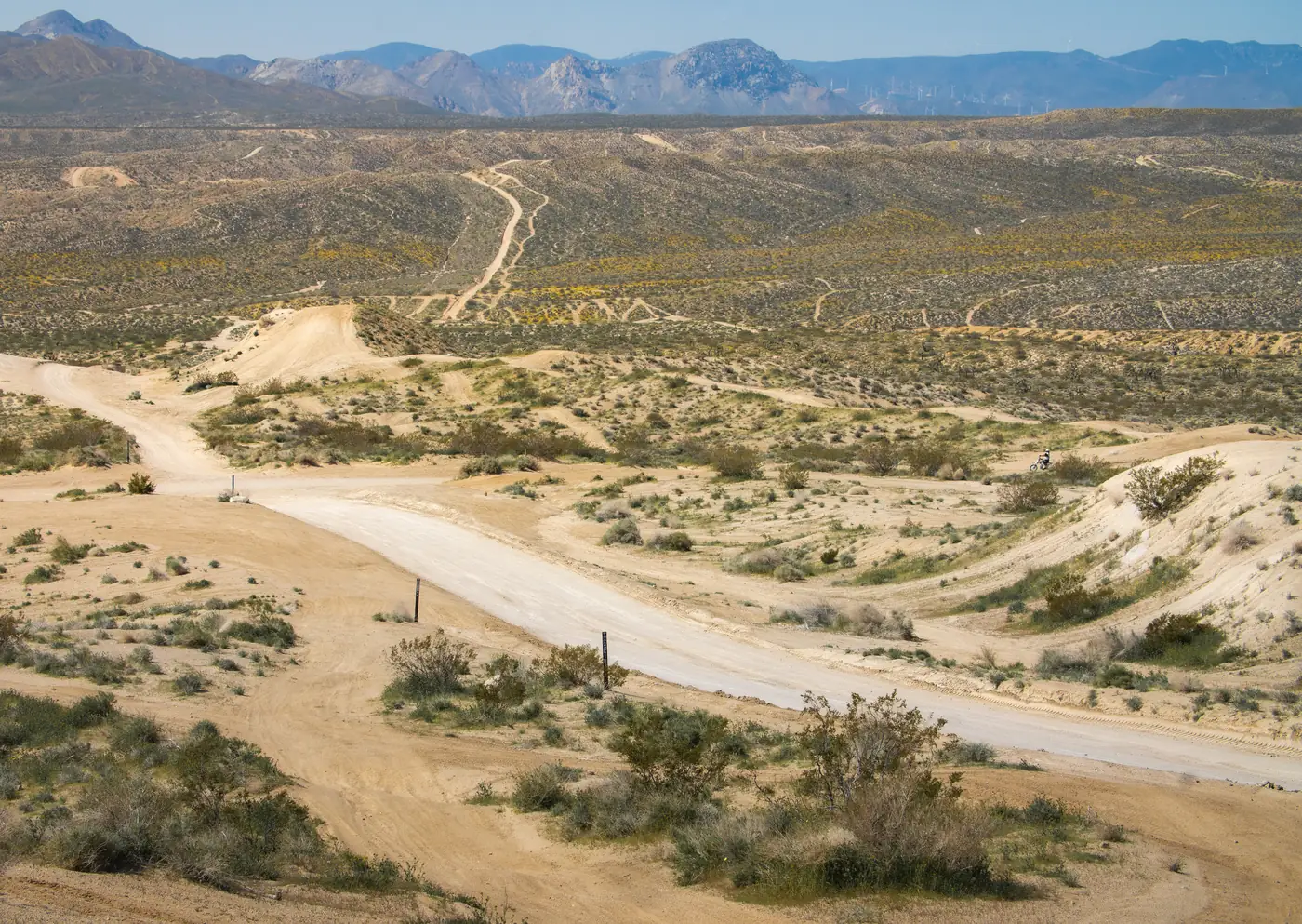
Getting here, where to stay, food and fuel, camping, and the riding areas and canyons around town.
“Dove Springs OHV Area”, photo by Jesse Pluim, Bureau of Land Management, via Wikimedia Commons, public domain; resized and converted to WebP.
The weather
The forecast read for the desert: wind, heat and dust, and whether this weekend works for riding and camping.
Year-round climateI own a lot here
For people who own a lot here or are thinking of buying one: finding it, what to check first, the scams aimed at owners, and the landowners' association.
Find your parcelThinking of moving here
Whether it is safe and what it costs, the schools, the weather and the drive to work, from the public figures.
Crime and safetyWhy is California City empty?
Every street that was laid out and every building that went up on them, on one map.
The history
.jpg)
Interactive map
Every street they built, and what got built on them.
Platted for four hundred thousand across 203.7 square miles of Mojave. The streets went in. The buildings, mostly, did not. The orange marks are the buildings.
- miles of platted street
- 1,332.7
- of it with nothing within 100 m
- 84%
- buildings in the whole city
- 5,941
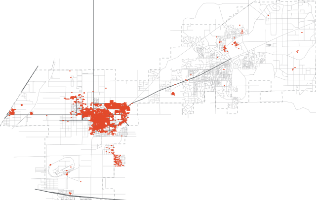
Simplified overview: nearby buildings share a mark at this scale. The map plots all 5,941 separately.
The story
What is California City known for?
In 1958 a developer named Nat Mendelsohn bought roughly eighty thousand acres of Mojave Desert in eastern Kern County and had a city planned on it for four hundred thousand residents, with a downtown, a man-made lake and two golf courses. The streets went in first. The residents never came in anything like those numbers.
When California City incorporated in 1965 its limits were drawn around the whole plat rather than the part people lived in, which is why a small town covers more land than any California city except Los Angeles and San Diego. What did get built is an ordinary and perfectly real desert town, with some of southern California’s best-known desert country all around it.
The streets that never got houses found a use of their own. Cal City, as riders and the city’s own OHV Department call it, runs them as an off-highway riding area, with its own permit and two signed trails. OHV riding in California City covers the permit, the map and the rules.
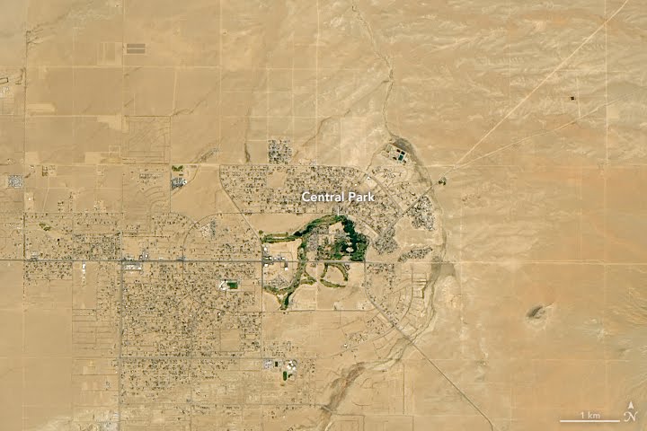
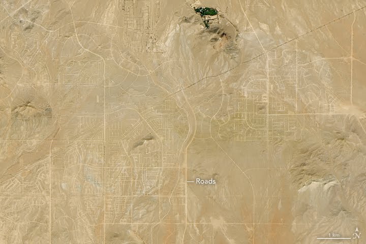
Landsat 8, 18 October 2018. NASA Earth Observatory images by Lauren Dauphin, using Landsat data from the U.S. Geological Survey. Licence.
Around California City
Everything nearbyMost of what draws people to this corner of the Mojave is outside the city limits, and each place is run by someone different, under different rules. Drive times are by road from City Hall, from the getting here table.
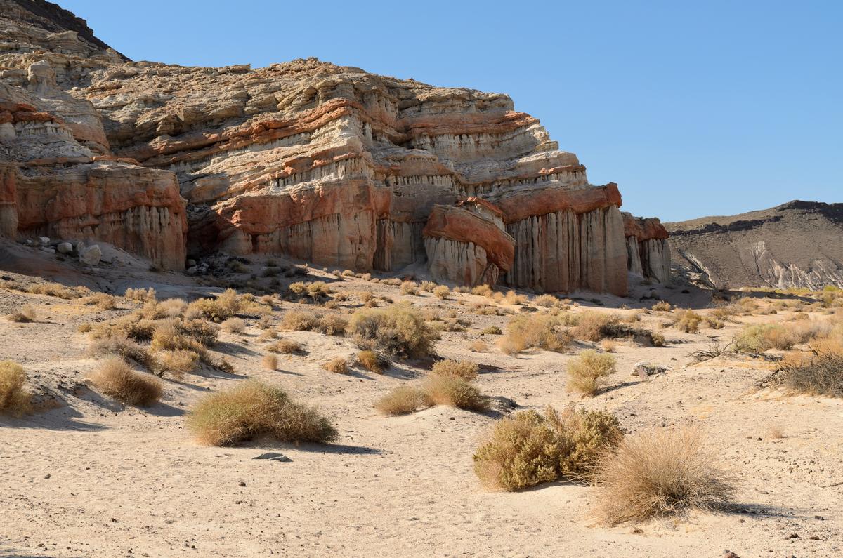 19.6 miles by road to the visitor center, about 35 min
State park · Kern County
Red Rock Canyon State Park
The state park on Highway 14: cliffs, fossils, film history, a first-come campground and the rules that apply. Not the Las Vegas one.
“Red Rock Canyon California September 2016 003” by King of Hearts, via Wikimedia Commons, CC BY-SA 4.0; resized.
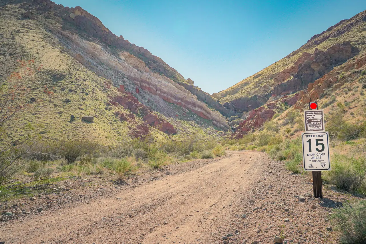 15.9 miles by road to Jawbone Station, about 28 min
BLM land · Off-highway vehicle area
Jawbone Canyon
BLM's open riding area on Highway 14: where riding is allowed, what the 2026 route closures changed, camping without water, and Jawbone Station.
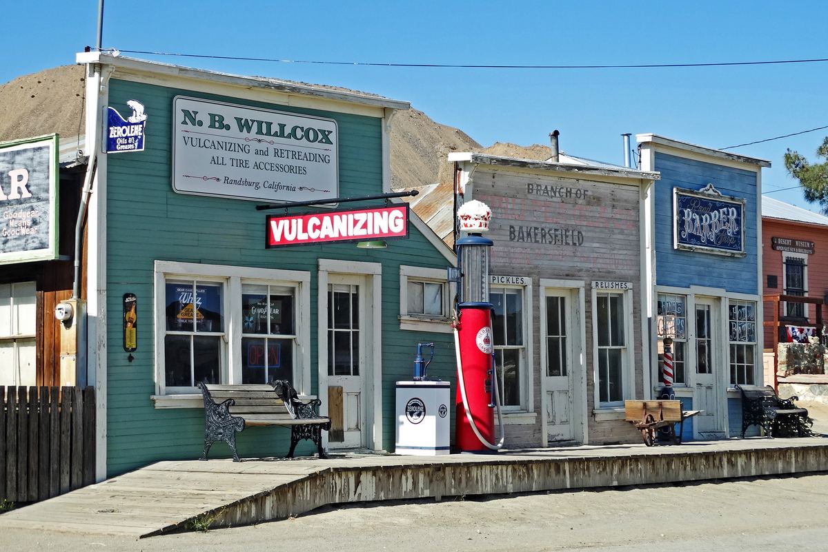 61.1 miles by road via Highway 58 and US 395, about 1 h 17 min
Mining town · Kern County
Randsburg
The 1895 gold town in the Rand Mountains: its history, what is left to see, and what has changed for visitors since 2025.
“Randsburg Ghost Town, CA 5-19-15d” by inkknife_2000, via Wikimedia Commons, CC BY-SA 2.0; resized.
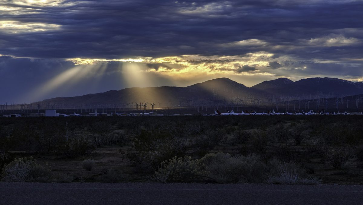 15.7 miles by road to Mojave, about 23 min
Aviation · Mojave
Mojave Air and Space Port
The spaceport and airliner boneyard next to Mojave: what the public can see, what it cannot, and the history behind it.
“Mojave, California - Airplane Boneyard” by Janusz Sobolewski, via Wikimedia Commons, CC BY 2.0; resized from Wikimedia Commons' 3,840px rendering.

.jpg)

After dark
Stay for the sky.
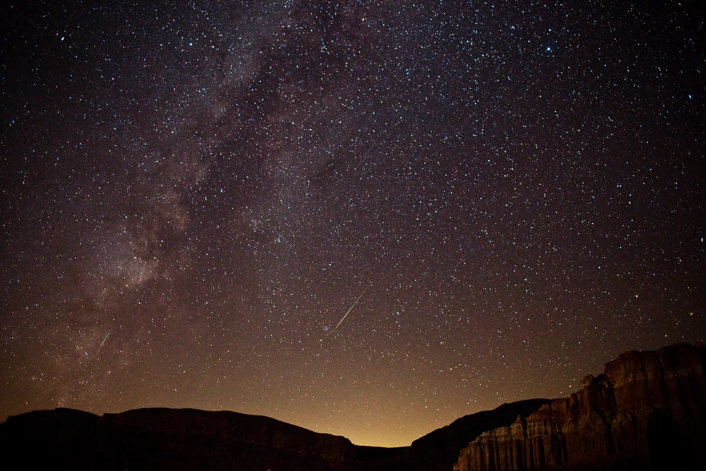
The desert around California City is dark. Drive half an hour out of town and it is a different sky: where to go, how dark it really is, and how to plan a night out.
Stargazing near California CityPerseid meteors and the Milky Way over Red Rock Canyon, 13 August 2010. “Perseid and the Milky Way” by Ian Norman, via Wikimedia Commons, CC BY-SA 2.0; resized and converted to WebP.

Questions people ask
Short answers here. The full answer, with sources, is one click away.
California City in figuresWhy is California City so empty?
Because it was planned for far more people than ever came. The answer, with sources
Why is California City so cheap?
Because there is far more land than anyone has wanted to build on. The answer, with sources
Is California City safe?
By the state’s own figures, violent crime runs higher than the California average and property crime lower. The answer, with sources
Is California City growing?
Not in its headline figure. The answer, with sources
Is my lot in California City worth anything?
It depends on the parcel, and there is no public price list. The answer, with sources